CRVA METHODOLOGY
CRVA Mapping
Explore the concepts and methods behind the CRVA process and understand how it can be applied to local, regional and national levels in the Central Asia region. Get insight on how to bridge climate exposure and risk with meaningful, actionable adaptation interventions.
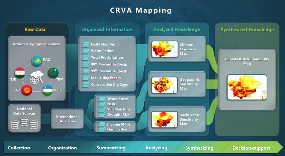
CRVA Mapping Process
Spatial analysis and mapping are powerful tools for both analysis and presentation of CRVA. Spatial analysis allows broad scale assessments while maintaining spatial discretization. Besides, mapping supports detailed presentation of spatially distributed impacts.
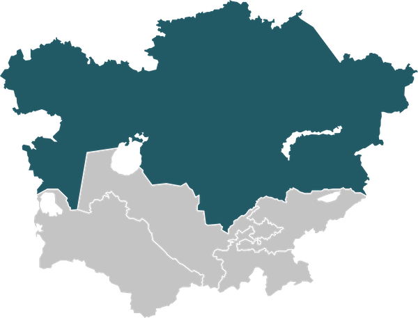
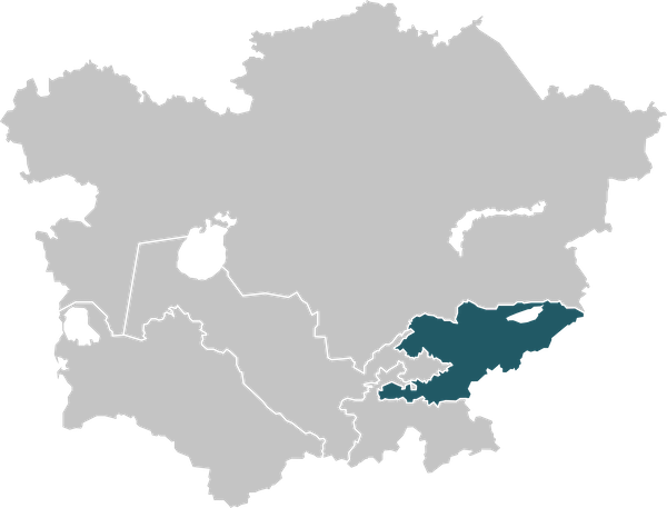
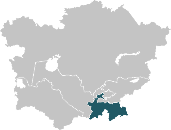
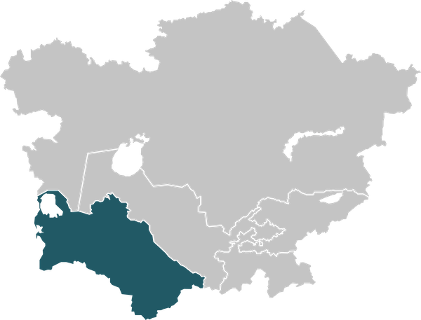
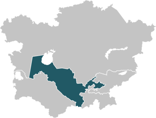
Example: CRVA Maps for Central Asia
Explore CRVA maps generated for countries below. Select and click the map to view.